Toggle navigation
Search
Search
ログイン / 参加
ログイン
New Account / View Pricing
さらなる探求
360° Video Gallery
世界地図
編集者のお勧め
ギガピクセル
360° Stereoscopic Panoramas
Learn
CONTRIBUTE
LICENSE
EARN $ FROM YOUR WORK
FREE RESEARCH
さらなる探求
360° Video Gallery
Gigapixel Gallery
Curated Sets
世界地図
360° Stereoscopic
編集者のおすすめ
More
Learn
CONTRIBUTE
LICENSE
EARN $ FROM YOUR WORK
FREE RESEARCH
参加/ログイン
ログイン
Get a new Contributor Account
Get a new Licensing Customer Account
Newsletter
×
Lightboxes
Copy
Create New Lightbox
This Lightbox is empty
×
Saved!
Search Results for @tags highway 3
Keywords
Location
Contributor
Show only licensable content
Show live previews
Search
Keyword Tip: Use quotation marks ("Golden Gate Bridge") to search for an exact phrase.
More tips
.
パノラマ (+10000)
Videos (189)
Contributors (13)
William L
Dempster Highway - Blackstone River (aerial)[2]
18800 x 9400
William L
Highway 168/North Lake Road (aerial)
18800 x 9400
William L
Dempster Highway - Richardson Mountains (aerial)[2]
18800 x 9400
William L
Dempster Highway - Ogilvie River (aerial)[2]
18800 x 9400
William L
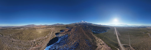
Highway 95 - Simee Dimeh Summit (aerial)
18800 x 9400
William L
Highway 230 - Foster Creek intersection (aerial)
18800 x 9400
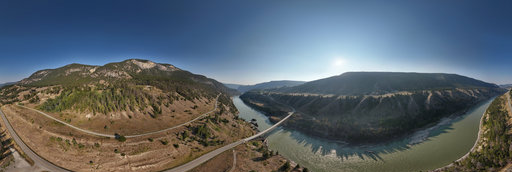
William L
Highway 20 - Sheep Creek Bridge (aerial)
18800 x 9400
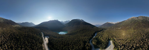
William L
Highway 99 - Joffre Lakes Trailhead (aerial)
18800 x 9400
William L
Highway 20 - The Hill (aerial)[1]
18800 x 9400
William L
Highway 20 - The Hill (aerial)[2]
18800 x 9400
William L
Highway 82 - Grottos Ice Cave (aerial)
18800 x 9400
William L
Highway 50 - Little Antelope Summit (aerial)
18800 x 9400
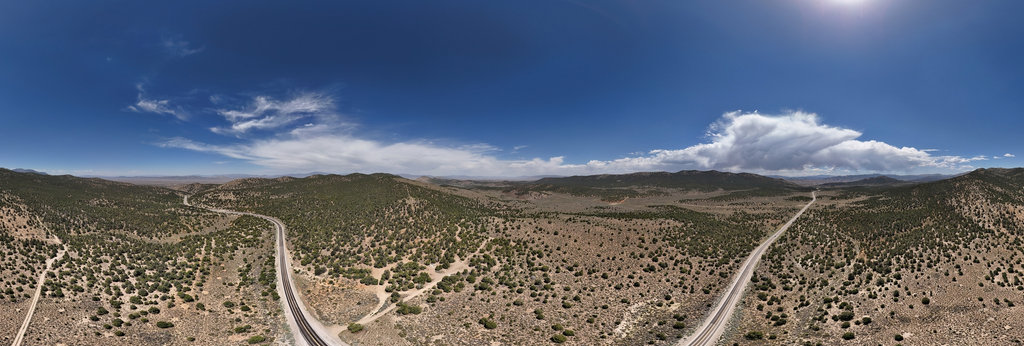
William L
Highway 305/Copper Basin intersection (aerial)
18800 x 9400
William L
Tuktoyaktuk - Paniksak Territorial Park
20134 x 10067
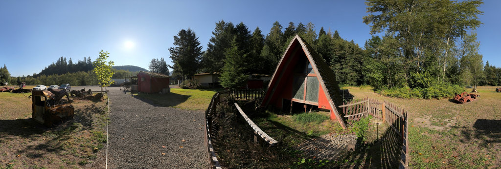
William L
Buried A-Frame
13200 x 6600
William L
Dempster Highway - Ogilvie River, YT, Canada (aerial)[1]
18800 x 9400
William L
Yukon River - Five Finger Rapids (aerial)
18800 x 9400
William L
Rancheria Falls [1]
13200 x 6600
William L
Rancheria Falls [2]
13200 x 6600
William L
Inuvik - Mackenzie River
12804 x 6402
William L
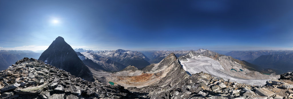
Uto Peak (2927m/9603') summit
20756 x 10378
William L
Lava Park lava flow (aerial)
18800 x 9400
Hans ter Horst
Château d'eau du "Rebierg" 1
8986 x 4493
Hans ter Horst
On top of the "Rebierg"
8978 x 4489
← Previous
-
1
-
2
-
…
-
11
-
12
-
13
-
14
-
15
-
16
-
17
-
18
-
19
-
…
-
416
-
417
-
Next →
Cookies help us deliver great service to you. By using this site, you agree to the use of cookies.
OK
Leave this Site