Toggle navigation
Search
Search
Entrar / Inscrever-se
Entrar
New Account / View Pricing
Explorar
360° Video Gallery
Mapa mundi
Escolhidas pelo Editor
Gigapixels
360° Stereoscopic Panoramas
Learn
CONTRIBUTE
LICENSE
EARN $ FROM YOUR WORK
FREE RESEARCH
Explorar
360° Video Gallery
Gigapixel Gallery
Curated Sets
Mapa mundi
360° Stereoscopic
Seleção do Editor
More
Learn
CONTRIBUTE
LICENSE
EARN $ FROM YOUR WORK
FREE RESEARCH
Inscrever-se/Entrar
Entrar
Get a new Contributor Account
Get a new Licensing Customer Account
Newsletter
×
Lightboxes
Copy
Create New Lightbox
This Lightbox is empty
×
Saved!
Search Results for @tags wind river peak
Keywords
Location
Contributor
Show only licensable content
Show live previews
Search
Keyword Tip: Use quotation marks ("Golden Gate Bridge") to search for an exact phrase.
More tips
.
Panorâmicas (+10000)
Videos (1203)
Contributors (1)
Lukas Biernacki
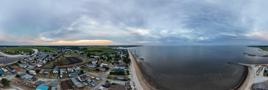
Bowers, Delaware
12000 x 6000
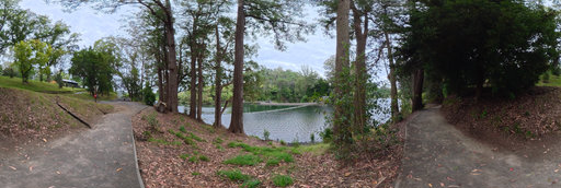
Toi Nishitani
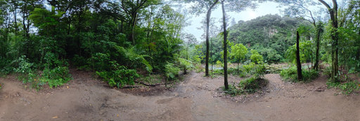
Lower Kaimai - Riverside Trail Between Native Forest and River, New Zealand
9000 x 4500
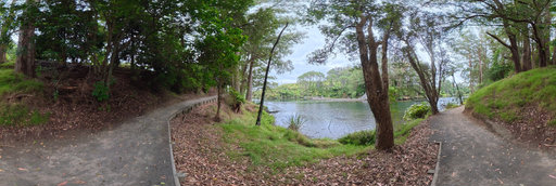
Toi Nishitani
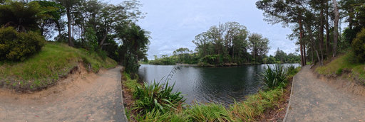
Lower Kaimai - River View With Gravel Path and Native Forest, New Zealand
9000 x 4500
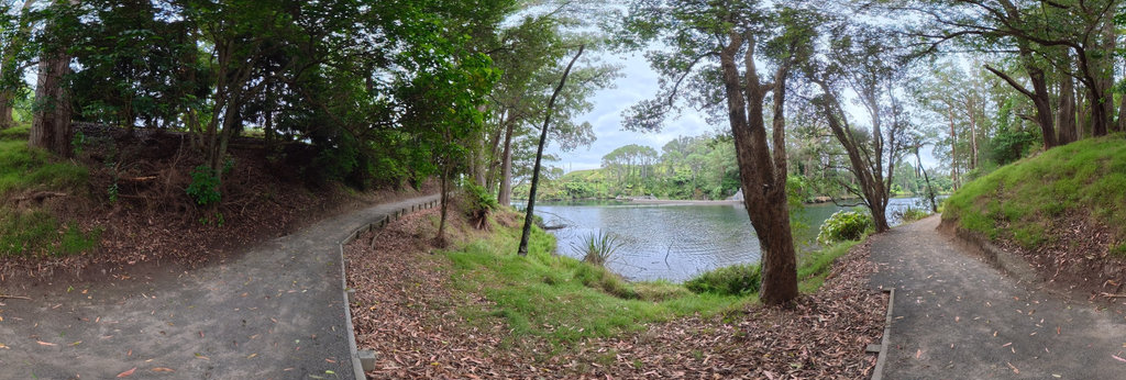
Toi Nishitani
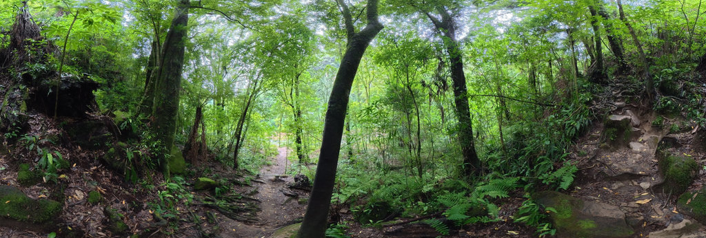
Lower Kaimai - Riverside Path Through Native Forest, Bay of Plenty, New Zealand
9000 x 4500
Toi Nishitani
Lower Kaimai - Gravel Path Along the River With Harakeke Flax
9000 x 4500
Toi Nishitani
Wairoa River Forest - Mossy Rocky Trail Through Lush Native Bush
9000 x 4500
Toi Nishitani
Wairoa River Forest - Open Trail Through Slender Trees with Mountain View
9000 x 4500
Jose Ignacio Teran
Aerial panorama with my drone in Mental river in Prioro
12000 x 6000
Jose Ignacio Teran
Aerial panorama with my drone in Mental River of Prioro
12000 x 6000
John Roberts
Fruita Overlook, Fremont River Trail, Capitol Reef NP, UT USA
16384 x 8192
William L
Highway 20 - Bella Coola River, Firvale, BC, Canada (aerial)[1]
18800 x 9400
William L
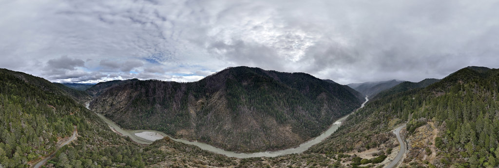
Rogue River - Grave Creek to Marial Back Country Byway (aerial)
18800 x 9400
Ryan Gillmor
Steyer Nature Preserve Sandusky River Entry Fort Seneca Ohio 1
12000 x 6000
Ryan Gillmor
Steyer Nature Preserve Sandusky River Entry Fort Seneca Ohio 2
12000 x 6000
khemrin khel
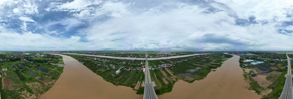
360° Aerial Panorama of a Scenic Bridge Over the River
8000 x 4000
William L
North Maroon Peak (14014'/4272m) summit
20756 x 10378
William L
Timberline Tarns
13200 x 6600
William L
South Lake
20756 x 10378
Bill Edwards
The Hidden Waterfall, Source Lake Cirque, Snoqualmie Region, WA
16506 x 8253
William L
Bear Basin (aerial)
18800 x 9400
William L
Highway 20 - Louie Creek (aerial)
18800 x 9400
William L
Deadman Mountain (4511'/1375m) summit (aerial)
20756 x 10378
William L
Tom Martin Peak (7021'/2140m) summit (gigapixel)
54940 x 27470
William L
Humboldt Peak (14064'/4287m) summit
20756 x 10378
← Previous
-
1
-
2
-
…
-
67
-
68
-
69
-
70
-
71
-
72
-
73
-
74
-
75
-
…
-
416
-
417
-
Next →
Cookies help us deliver great service to you. By using this site, you agree to the use of cookies.
OK
Leave this Site