Toggle navigation
Search
Search
Sign In / Sign Up
Sign In
New Account / View Pricing
Explore
360° Video Gallery
World Map
Editors' Picks
Gigapixels
360° Stereoscopic Panoramas
Learn
CONTRIBUTE
LICENSE
EARN $ FROM YOUR WORK
FREE RESEARCH
Explore
360° Video Gallery
Gigapixel Gallery
Curated Sets
World Map
360° Stereoscopic
Editors' Picks
More
Learn
CONTRIBUTE
LICENSE
EARN $ FROM YOUR WORK
FREE RESEARCH
Sign up/Sign in
Sign in
Get a new Contributor Account
Get a new Licensing Customer Account
Newsletter
×
Lightboxes
Copy
Create New Lightbox
This Lightbox is empty
×
Saved!
Search Results for @tags stuart lake highway
Keywords
Location
Contributor
Show only licensable content
Show live previews
Search
Keyword Tip: Use quotation marks ("Golden Gate Bridge") to search for an exact phrase.
More tips
.
Panoramas (+10000)
Videos (741)
Contributors (10)
William L
Dempster Highway - Ogilvie River (aerial)[3]
18800 x 9400
William L
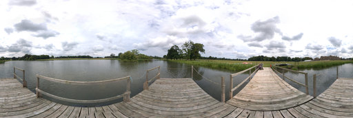
Stuart Falls
13200 x 6600
William L
Elk River (aerial)
18800 x 9400
Gregory Perez
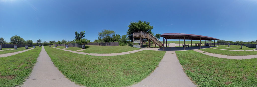
Archery Range, El Dorado Lake
7680 x 3840
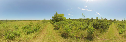
Gregory Perez
Wildflower meadow, El Dorado Lake
12000 x 6000
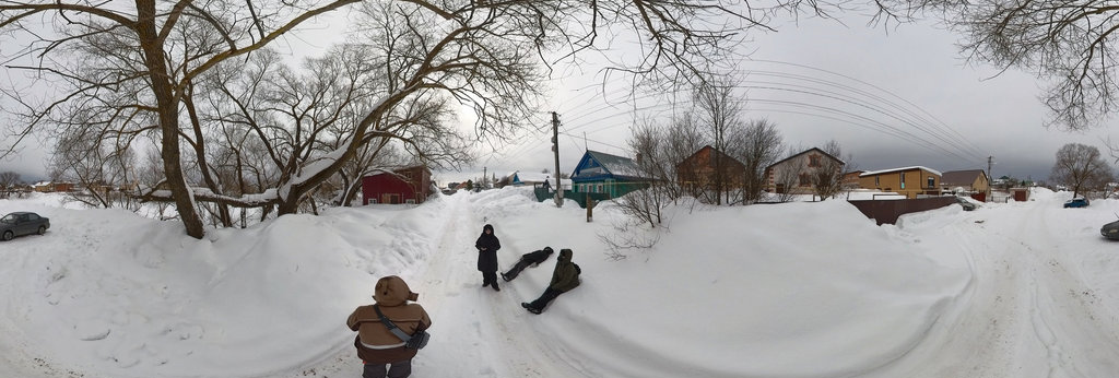
Camera Person
Lake Ozonia FALL 2025 284
8192 x 4096
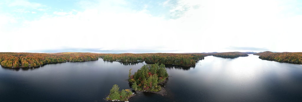
David Ma
Edmund Fitzgerald Lake Superior Lookout
14400 x 7200
Martin Pearman
Holkham Lake, Holkham Hall, Norfolk
18964 x 9482
Ramil Zhihanshin
N. Tura, Shkolnaya Street, Lake
12000 x 6000
William L
Brownlee Reservoir - Woodhead Park (aerial)
18800 x 9400
William L
White Pass (aerial)
18800 x 9400
William L
Alcova (aerial)
18800 x 9400
William L
Highway 19/Oak Bay Road (aerial)
18800 x 9400
William L
Inuvik-Tuktoyaktuk Highway - tundra transition (aerial)
18800 x 9400
William L
Dempster Highway - Blackstone River (aerial)[2]
18800 x 9400
William L
Dempster Highway - Richardson Mountains (aerial)[2]
18800 x 9400
William L
Klondike Highway - Plume Agate Trail (aerial)
18800 x 9400
William L
Dempster Highway - Ogilvie River (aerial)[2]
18800 x 9400
William L
Highway 95 - Simee Dimeh Summit (aerial)
18800 x 9400
William L
Highway 230 - Foster Creek intersection (aerial)
18800 x 9400
William L
Highway 20 - Sheep Creek Bridge (aerial)
18800 x 9400
William L
Highway 20 - The Hill (aerial)[1]
18800 x 9400
William L
Highway 20 - The Hill (aerial)[2]
18800 x 9400
William L
Highway 82 - Grottos Ice Cave (aerial)
18800 x 9400
← Previous
-
1
-
2
-
…
-
19
-
20
-
21
-
22
-
23
-
24
-
25
-
26
-
27
-
…
-
416
-
417
-
Next →
Cookies help us deliver great service to you. By using this site, you agree to the use of cookies.
OK
Leave this Site