Toggle navigation
Search
Search
Sign In / Sign Up
Sign In
New Account / View Pricing
Explore
360° Video Gallery
World Map
Editors' Picks
Gigapixels
360° Stereoscopic Panoramas
Learn
CONTRIBUTE
LICENSE
EARN $ FROM YOUR WORK
FREE RESEARCH
Explore
360° Video Gallery
Gigapixel Gallery
Curated Sets
World Map
360° Stereoscopic
Editors' Picks
More
Learn
CONTRIBUTE
LICENSE
EARN $ FROM YOUR WORK
FREE RESEARCH
Sign up/Sign in
Sign in
Get a new Contributor Account
Get a new Licensing Customer Account
Newsletter
×
Lightboxes
Copy
Create New Lightbox
This Lightbox is empty
×
Saved!
Search Results for @tags rogue valley
Keywords
Location
Contributor
Show only licensable content
Show live previews
Search
Keyword Tip: Use quotation marks ("Golden Gate Bridge") to search for an exact phrase.
More tips
.
Panoramas (+10000)
Videos (381)
Contributors (2)
Antonio Garcia
CASTELLESTAO-05-Dark Valley-360vr-Catalonia-Spain
6080 x 3040
William L
Poole Lake
20756 x 10378
William L
Snow Lakes
20756 x 10378
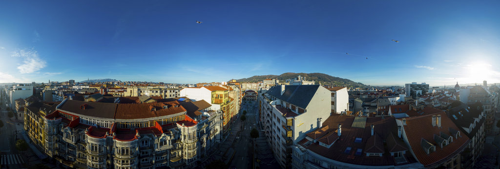
Jose Ignacio Teran
Aerial panorama in Uría North streets of Oviedo
12000 x 6000
William L
Rogue River - Natural Bridge [1]
13200 x 6600
William L
Rogue River - Takelma Gorge [1]
13200 x 6600
William L
Rogue River - Rainie Falls (flooded)
13200 x 6600
William L
Upper Rogue River Trail [3]
13200 x 6600
William L
Rogue River - Knob Falls [1]
13200 x 6600
William L
Rogue River - Mill Creek Falls
13200 x 6600
William L
Rogue River - Takelma Gorge [2]
13200 x 6600
William L
Rogue River - Prospect State Park
13200 x 6600
William L
Rogue River - Whisky Creek confluence
20756 x 10378
William L
Rogue River - Woodruff Bridge (aerial)
18800 x 9400
William L
Rogue River - Natural Bridge (aerial)
18800 x 9400
William L
Rogue River - Lobster Creek (aerial)
18800 x 9400
William L
Phoenix - after Almeda Fire (aerial)[2]
18800 x 9400
Bill Edwards
Mount Index, Valley Overlook Trail, Mt. Baker Snoqualmie National Forest, WA
16500 x 8250
Roman Turventur
Panoramic view from Cachoeirão Waterfall in Chapada Diamantina National Park
6912 x 3456
William L
South/Middle Fork Payette River confluence (aerial)
18800 x 9400
William L
Osoyoos Desert Centre Trail
13200 x 6600
William L
Lemoore (aerial)
18800 x 9400
William L
Hayes Hill Summit (aerial)
18800 x 9400
William L
Halsey (aerial)
18800 x 9400
← Previous
-
1
-
2
-
…
-
21
-
22
-
23
-
24
-
25
-
26
-
27
-
28
-
29
-
…
-
383
-
384
-
Next →
Cookies help us deliver great service to you. By using this site, you agree to the use of cookies.
OK
Leave this Site