Toggle navigation
Search
Search
Accedi / Iscriviti
Accedi
New Account / View Pricing
Esplora
360° Video Gallery
Mappa del mondo
Selezionati dall'Editore.
Gigapixels
360° Stereoscopic Panoramas
Learn
CONTRIBUTE
LICENSE
EARN $ FROM YOUR WORK
FREE RESEARCH
Esplora
360° Video Gallery
Gigapixel Gallery
Curated Sets
Mappa del mondo
360° Stereoscopic
Selezionate dagli editori
More
Learn
CONTRIBUTE
LICENSE
EARN $ FROM YOUR WORK
FREE RESEARCH
Iscriviti/Accedi
Accedi
Get a new Contributor Account
Get a new Licensing Customer Account
Newsletter
×
Lightboxes
Copy
Create New Lightbox
This Lightbox is empty
×
Saved!
Search Results for @tags pine creek basin
Keywords
Location
Contributor
Show only licensable content
Show live previews
Search
Keyword Tip: Use quotation marks ("Golden Gate Bridge") to search for an exact phrase.
More tips
.
Panoramiche (6522)
Videos (412)
Contributors (1)
William L
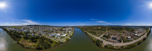
Uduya Point Road
12804 x 6402
William L
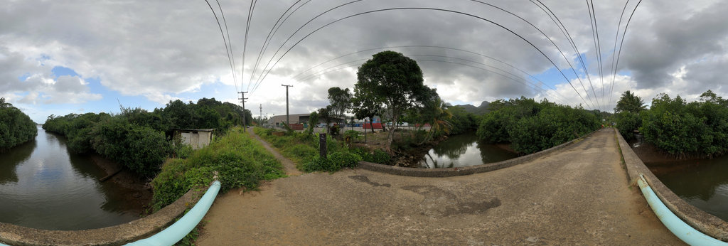
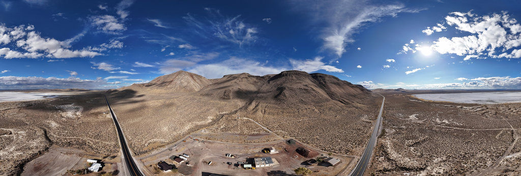
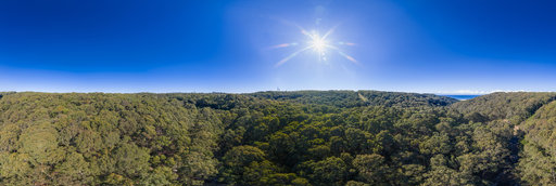
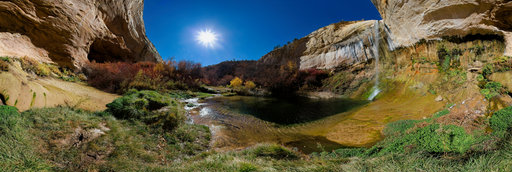
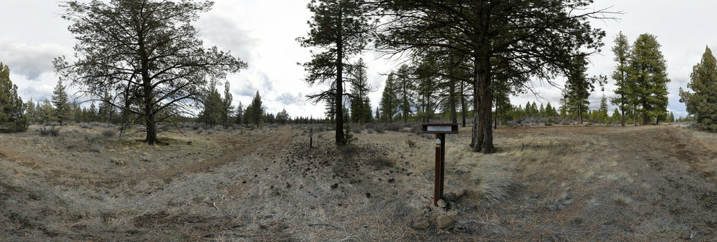
Pine Creek Basin
13200 x 6600
William L
Silver Skagit Road (aerial)
18800 x 9400
William L
Sandon (aerial)[2]
18800 x 9400
William L
Highway Well Rest Stop (aerial)
18800 x 9400
William L
Alkali Lake (aerial)
18800 x 9400
Khang Tran
Can Tho Overpass
14000 x 7000
Bill Edwards
Upper Keekwulee Falls, Denny Creek Trail, WA State
16450 x 8225
William L
Mercur Peak (8096'/2468m) summit (gigapixel)
45228 x 22614
Ken Stahley
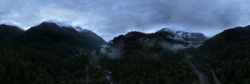
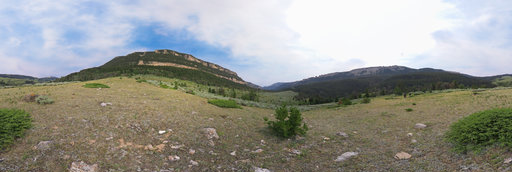
Swimming Woman Creek Basin
16000 x 8000
Ken Stahley
Upper Sage Creek Basin
16000 x 8000
Bill Landenberger
Flaggy Creek Falls drone panorama
32232 x 16116
Bill Landenberger
Fifty metres above Flaggy Creek
31966 x 15983
Bill Landenberger
Watkins Bridge site Cockle Creek
31990 x 15995
Bill Landenberger
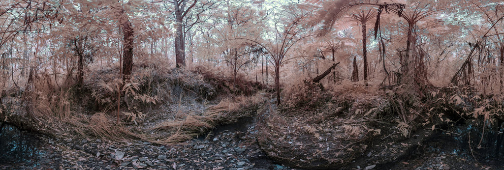
Kaiyutibbin Creek infrared 550 nm
24812 x 12406
Bill Landenberger
Winding Creek rail bridge 2
31998 x 15999
Ken Stahley
Upper Calf Creek Falls – 1
16000 x 8000
William L
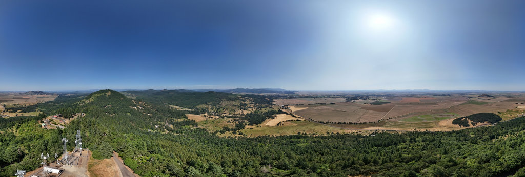
Washburn Butte (1368'/417m) summit (aerial)
20756 x 10378
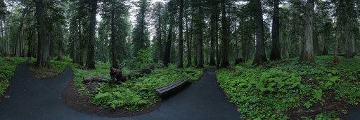
William L
Giant Cedar Grove Trail
13200 x 6600
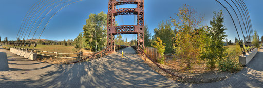
Bill Edwards
Spring Creek Bridge, Winthrop, WA State
16452 x 8226
William L
44N68 - Burnett Cutoff
12804 x 6402
Ken Stahley
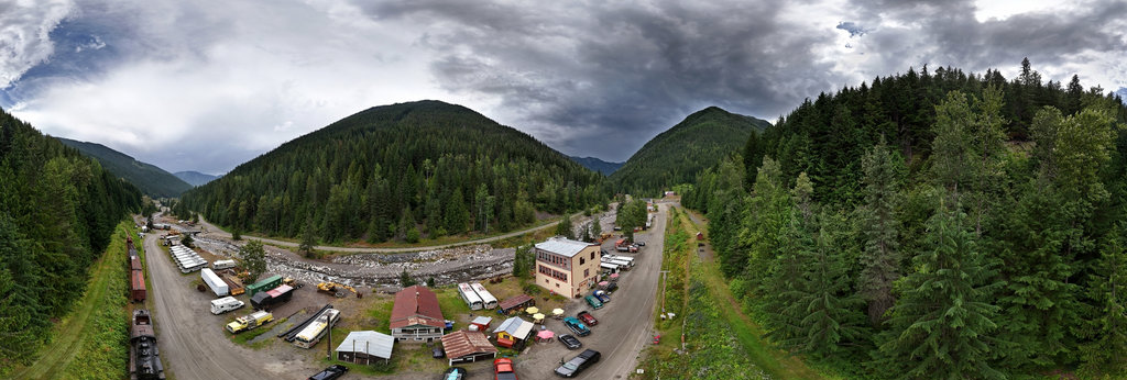
Upper Little Horn River Basin
16000 x 8000
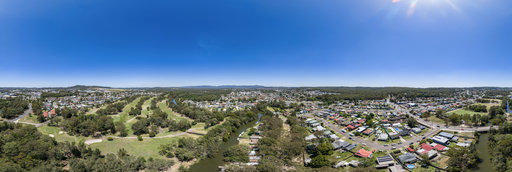
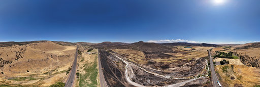
William L
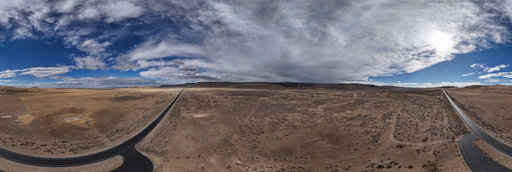
Highway 97 - Cram Fire aftermath (aerial)
18800 x 9400
Bill Landenberger
Watkins Bridge site Cockle Creek 2
31940 x 15970
← Previous
-
1
-
2
-
3
-
4
-
5
-
6
-
7
-
8
-
9
-
…
-
256
-
257
-
Next →
Cookies help us deliver great service to you. By using this site, you agree to the use of cookies.
OK
Leave this Site