Toggle navigation
Search
Search
Вход / Регистрация
Вход
New Account / View Pricing
Исследовать
360° Video Gallery
Карта Мира
Выбор Редактора
Гигапиксельные панорамы
360° Stereoscopic Panoramas
Learn
CONTRIBUTE
LICENSE
EARN $ FROM YOUR WORK
FREE RESEARCH
Исследовать
360° Video Gallery
Gigapixel Gallery
Curated Sets
Карта Мира
360° Stereoscopic
Выбор редактора
More
Learn
CONTRIBUTE
LICENSE
EARN $ FROM YOUR WORK
FREE RESEARCH
Регистрация/Вход
Вход
Get a new Contributor Account
Get a new Licensing Customer Account
Newsletter
×
Lightboxes
Copy
Create New Lightbox
This Lightbox is empty
×
Saved!
Search Results for @tags clear range
Keywords
Location
Contributor
Show only licensable content
Show live previews
Search
Keyword Tip: Use quotation marks ("Golden Gate Bridge") to search for an exact phrase.
More tips
.
Панорамы (7230)
Videos (719)
Contributors (0)
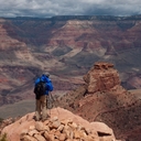
William L
Spindle Cave [2]
20756 x 10378
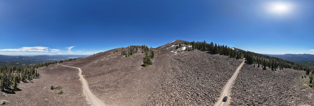
William L
Diamond Lake Junction (aerial)
18800 x 9400
William L
Fish Lake (aerial)[2]
18800 x 9400
William L
Fraser River (aerial)
18800 x 9400
William L
Skipper Lakes (aerial)
18800 x 9400
William L
Mirror Lake (aerial)
18800 x 9400
William L
Woods Landing (aerial)
18800 x 9400
William L
Deadman Mountain (4511'/1375m) summit (aerial)
20756 x 10378
William L
Above Montreal Canyon
12804 x 6402
John Roberts
Liberty Lake, Ruby Mountains, Nevada, USA
17248 x 8624
William L
Clear Lake rowboat, Santiam Pass, OR, USA [2]
20756 x 10378
William L
'Flora Peak' (1952m/6405') summit (gigapixel)
47536 x 23768
G. Donald Bain
Clear Creek and Interstate 70
8000 x 4000
Marcio Cabral
Sucuri River's Water Spring
10000 x 5000
Роман Турвентур
Explore Atacama Desert next to Garganta del Diabolo Canyon in San Pedro De Atacama
11904 x 5952
William L
Two Sisters Mountain (2082m/6830') summit (gigapixel)
51368 x 25684
William L
Upper/Lower Marilyn Lakes (aerial)
18800 x 9400
William L
Highway 230 - Foster Creek intersection (aerial)
18800 x 9400
William L
Independence ghost town (aerial)
18800 x 9400
William L
Eisenhower/Johnson Tunnels east portal (aerial)
18800 x 9400
William L
Last Chance Lake, 70 Mile House, BC, Canada (aerial)[2]
18800 x 9400
William L
Highway 50 - Woods Reservoir (aerial)
18800 x 9400
William L
Canton Point (4842'/1476m) summit (aerial)
20756 x 10378
William L
Burney Mountain Road (aerial)
18800 x 9400
← Previous
-
1
-
2
-
…
-
18
-
19
-
20
-
21
-
22
-
23
-
24
-
25
-
26
-
…
-
282
-
283
-
Next →
Cookies help us deliver great service to you. By using this site, you agree to the use of cookies.
OK
Leave this Site