Toggle navigation
Search
Search
Sign In / Sign Up
Sign In
New Account / View Pricing
Prozkoumat
360° Video Gallery
Mapa světa
Editors' Picks
Gigapixelové fotky
360° Stereoscopic Panoramas
Learn
CONTRIBUTE
LICENSE
EARN $ FROM YOUR WORK
FREE RESEARCH
Prozkoumat
360° Video Gallery
Gigapixel Gallery
Curated Sets
Mapa světa
360° Stereoscopic
Námi vybrané
More
Learn
CONTRIBUTE
LICENSE
EARN $ FROM YOUR WORK
FREE RESEARCH
Sign up/Sign in
Sign in
Get a new Contributor Account
Get a new Licensing Customer Account
Newsletter
×
Lightboxes
Copy
Create New Lightbox
This Lightbox is empty
×
Saved!
Search Results for @tags aerial
Keywords
Location
Contributor
Show only licensable content
Show live previews
Search
Keyword Tip: Use quotation marks ("Golden Gate Bridge") to search for an exact phrase.
More tips
.
Fotky (+10000)
Videos (1179)
Contributors (8)
William L
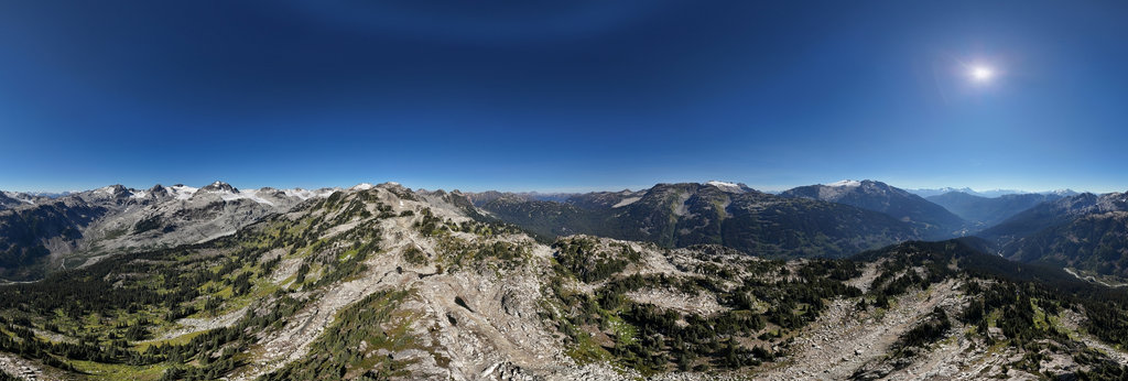
Appa Creek alpine meadows (aerial)[2]
18800 x 9400
William L
Highway 20 - Sheep Creek Bridge (aerial)
18800 x 9400
William L
North Bentinck Arm - Falls Creek (aerial)
18800 x 9400
Gary Davies
Aerial view of Ardvrek Castle, Sutherland
25736 x 12868
Gary Davies
Aerial view over Tinturn Abbey, Monmouthshire
22240 x 11120
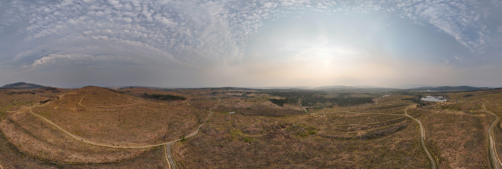
William L
Alkali Lake Chemical Waste Dump (aerial)
18800 x 9400
William L
Vedauwoo - Potato Chip Rock (aerial)[1]
18800 x 9400
William L
Bentonite Hills - Purple Mountain (aerial)[2]
18800 x 9400
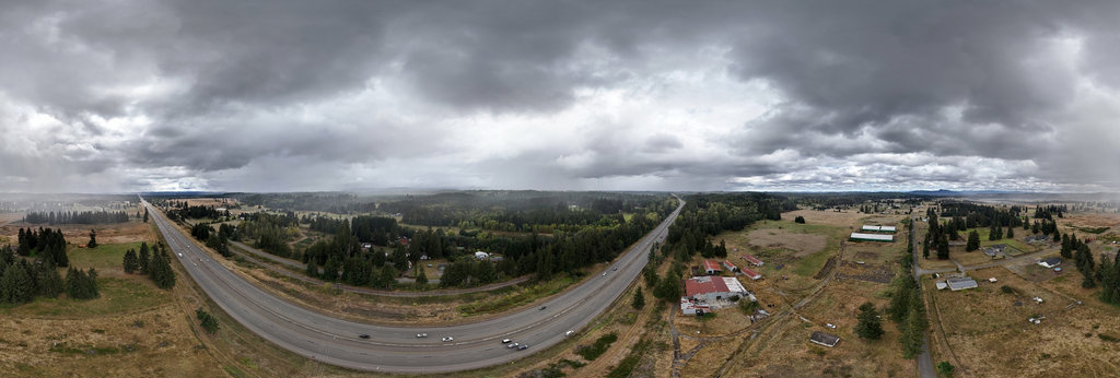
William L
Interstate 5 - Logan Schiendelman disappearance (aerial)
18800 x 9400
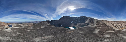
William L
Perkins Peak periglacial formations (aerial)[1]
18800 x 9400
William L
Perkins Peak periglacial formations (aerial)[2]
18800 x 9400
William L
Tatlayoko Road/Eagle Lake Road (aerial)
18800 x 9400
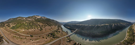
William L
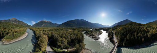
Bailey Bridge - Bella Coola River (aerial)
18800 x 9400
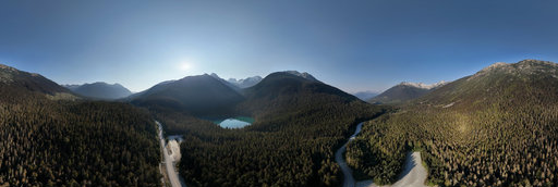
William L
Highway 99 - Joffre Lakes Trailhead (aerial)
18800 x 9400
William L
Bald Mountain Road - glacial striations (aerial)
18800 x 9400
William L
Highway 20 - The Hill (aerial)[1]
18800 x 9400
William L
Highway 20 - The Hill (aerial)[2]
18800 x 9400
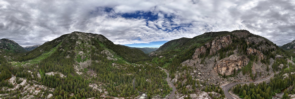
William L
Highway 82 - Grottos Ice Cave (aerial)
18800 x 9400
William L
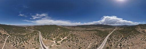
Highway 50 - Little Antelope Summit (aerial)
18800 x 9400
William L
Highway 95/Highway 261 intersection (aerial)
18800 x 9400
William L
Sugarloaf Mountain (11423'/3482m) summit (aerial)
20756 x 10378
William L
Highway 160/Highway 41 intersection (aerial)
18800 x 9400
William L
Highway 305/Copper Basin intersection (aerial)
18800 x 9400
William L
Vedauwoo - Potato Chip Rock (aerial)[2]
18800 x 9400
← Previous
-
1
-
2
-
…
-
81
-
82
-
83
-
84
-
85
-
86
-
87
-
88
-
89
-
…
-
416
-
417
-
Next →
Cookies help us deliver great service to you. By using this site, you agree to the use of cookies.
OK
Leave this Site