Toggle navigation
Search
Search
Вход / Регистрация
Вход
New Account / View Pricing
Исследовать
360° Video Gallery
Карта Мира
Выбор Редактора
Гигапиксельные панорамы
360° Stereoscopic Panoramas
Learn
CONTRIBUTE
LICENSE
EARN $ FROM YOUR WORK
FREE RESEARCH
Исследовать
360° Video Gallery
Gigapixel Gallery
Curated Sets
Карта Мира
360° Stereoscopic
Выбор редактора
More
Learn
CONTRIBUTE
LICENSE
EARN $ FROM YOUR WORK
FREE RESEARCH
Регистрация/Вход
Вход
Get a new Contributor Account
Get a new Licensing Customer Account
Newsletter
×
Lightboxes
Copy
Create New Lightbox
This Lightbox is empty
×
Saved!
Search Results for @tags aerial view
Keywords
Location
Contributor
Show only licensable content
Show live previews
Search
Keyword Tip: Use quotation marks ("Golden Gate Bridge") to search for an exact phrase.
More tips
.
Панорамы (+10000)
Videos (4333)
Contributors (16)
William L
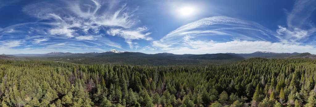
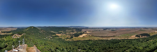
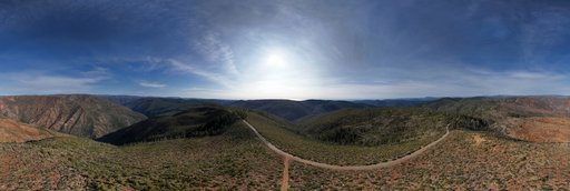
Ashpan Butte (5940'/1811m) summit (aerial)
18800 x 9400
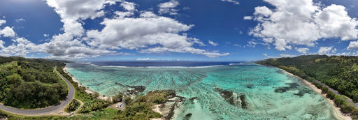
William L
Black Rock Beach, Tagaqe, Fiji (aerial)
18800 x 9400
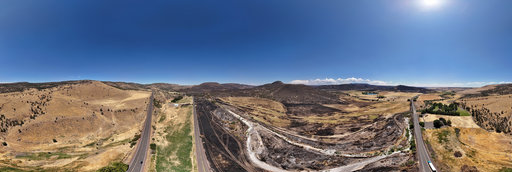
William L
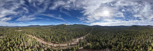
Highway 97 - Cram Fire aftermath (aerial)
18800 x 9400
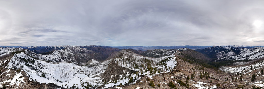
William L
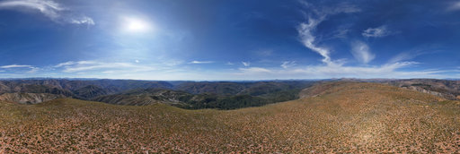
Pt. 7521 (7521'/2292m) summit (aerial)
20756 x 10378
William L
Washburn Butte (1368'/417m) summit (aerial)
20756 x 10378
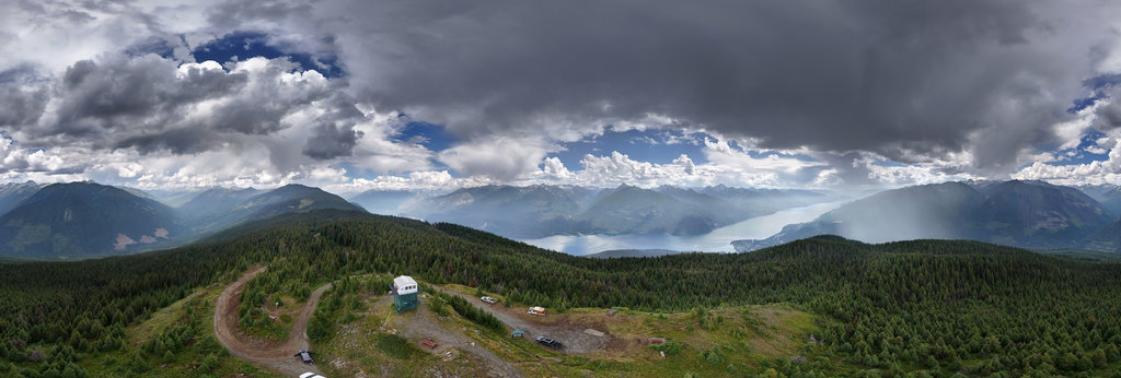
William L
Mt. Buchanan (1909m/6262') summit (aerial)
20756 x 10378
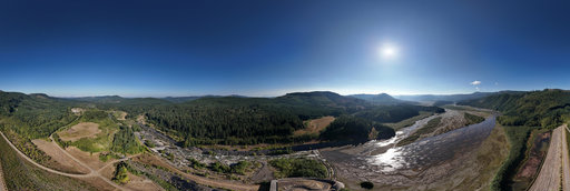
William L
Toutle River Sediment Retention Structure (aerial)
18800 x 9400
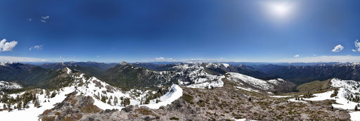
William L
Pyramid Peak (6451'/1966m) summit (aerial)
20756 x 10378
William L
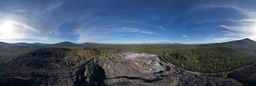
Glass Mountain obsidian flow (aerial)[5]
18800 x 9400
William L
Pt. 2420 (2420'/738m) summit (aerial)
18800 x 9400
William L
Spotted Lake, Osoyoos, BC, Canada (aerial)
18800 x 9400
William L
Highway 138 near Cascade Summit (aerial)
18800 x 9400
William L
Mummery Glacier medial moraine (aerial)[1]
18800 x 9400
William L
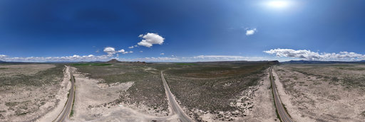
Highway 31/Silver Lake playa (aerial)
18800 x 9400
Jose Ignacio Teran
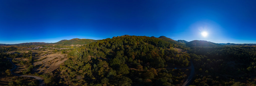
Aerial panorama in Bonar of Leon
12000 x 6000
William L
Highway 97C - Brenda Mine Tailings (aerial)
18800 x 9400
William L
Ruth Hope Mine entrance (exterior)(aerial)
18800 x 9400
William L
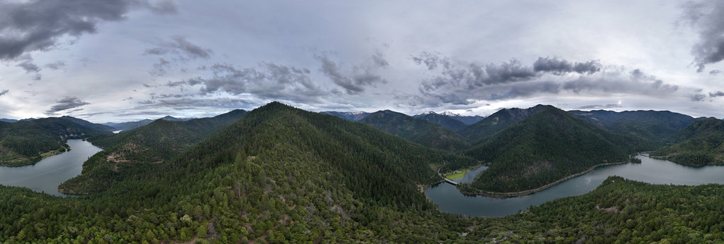
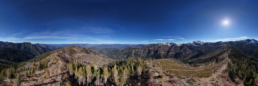
Elliott Creek Ridge - Applegate Lake (aerial)
18800 x 9400
William L
Highway 89 - Ashpan Sno-Park (aerial)
18800 x 9400
William L
Black Rock Butte lava flow (aerial)
18800 x 9400
William L
Columbia River - Bluewater Creek confluence (aerial)
18800 x 9400
William L
High Point (5614'/1711m) summit (aerial)
20756 x 10378
William L
Pt. 3434 (3434'/1047m) summit (aerial)
20756 x 10378
William L
NF-112 NF-019 intersection (aerial)
18800 x 9400
← Previous
-
1
-
2
-
…
-
12
-
13
-
14
-
15
-
16
-
17
-
18
-
19
-
20
-
…
-
416
-
417
-
Next →
Cookies help us deliver great service to you. By using this site, you agree to the use of cookies.
OK
Leave this Site